Flood Gauge Information
What are our current water conditions?
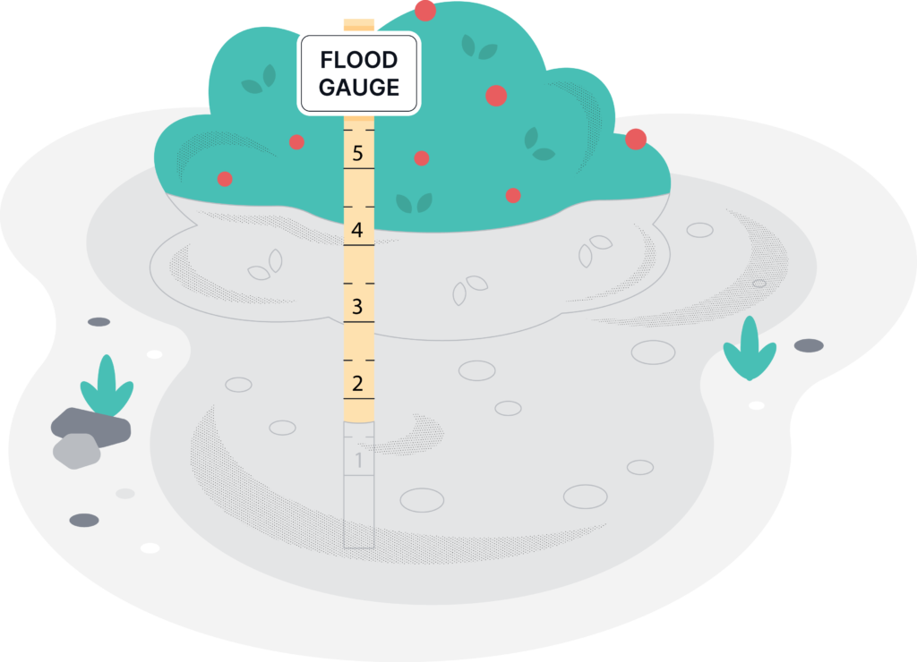
What Are Flood Gauges?
Flood gauges are placed all over the country to monitor the condition of our floodways. They collect a wide range of data including information on water levels, discharge rates (basically, flow rates), and water quality. Many of these gauges are placed and maintained by the National Oceanic and Atmospheric Administration, or NOAA.
As a resident, you can access the real-time data for our closest gauge station. In addition to current water conditions, you can learn about historic flood events and meteorological observations. More information about how to interpret flood gauge data can be found here.
Our Local Flood Gauge
Upper Township’s new flood warning system utilizes a tide gauge at Webster Avenue in Strathmere. Goto HydrometCloud website Click “Data Reports” and search for “Webster Ave.” Select to view LEVEL, scroll down and select PLOT to see the current tide level. Send an email to engineer@uppertownship.com to sign-up for email alerts for tidal flooding.